Archive for March, 2008

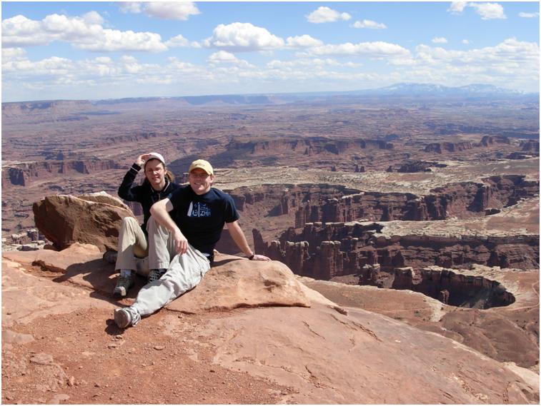
Day 3: Rainbow Bridge

Topic: Uncategorized| No Comments »

Today we rented a boat to see Rainbow Bridge. Regrettably, currently Lake Powell is the coldest I have ever seen it, so it looks like I brought my nice wakeboarding rope for nothing (Hey, since we are renting a boat, I might as well try to wakeboard, right?).I’d never been to Lake Powell before the start of the season before, and the water level is very low. Supposedly, with all of the snowfall in the Colorado Basin, some people are predicting the lake will rise between 50 and eighty feet this year. In fact, rumor has it that the channel from Wahweap to Padre Bay is going to be dredged this year so houseboats can go through. Now that’s exciting. No more hour-long trip through the perilous Antelope Channel (I personally have been party to the old houseboat we used to take almost crashing into the sides more than once). Back on topic, the weather for our trip was fairly nice. A bit brisk, but as we got out it warmed up. Also windy and choppy in places, but at least we didn’t have a famous Lake Powell storm to deal with.


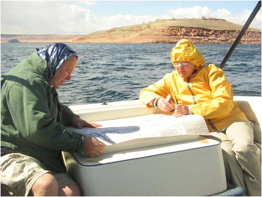
What, do you say, is this? This is Sandy’s mom and dad looking at the map. Why is he dressed like a babushka? Well, I gave Sandy’s dad my hat and warned him that it would fly off his head and into the lake if he didn’t tighten it. And then we would have to turn around and pick the hat up out of the water. Hypothetically, this might have happened before to my the father and a certain uncle of mine. Multiple times, to both. And, of course, it did happen, and we did make a wide circle to pick up the hat, and then the hat was wet, so he wore a scarf.


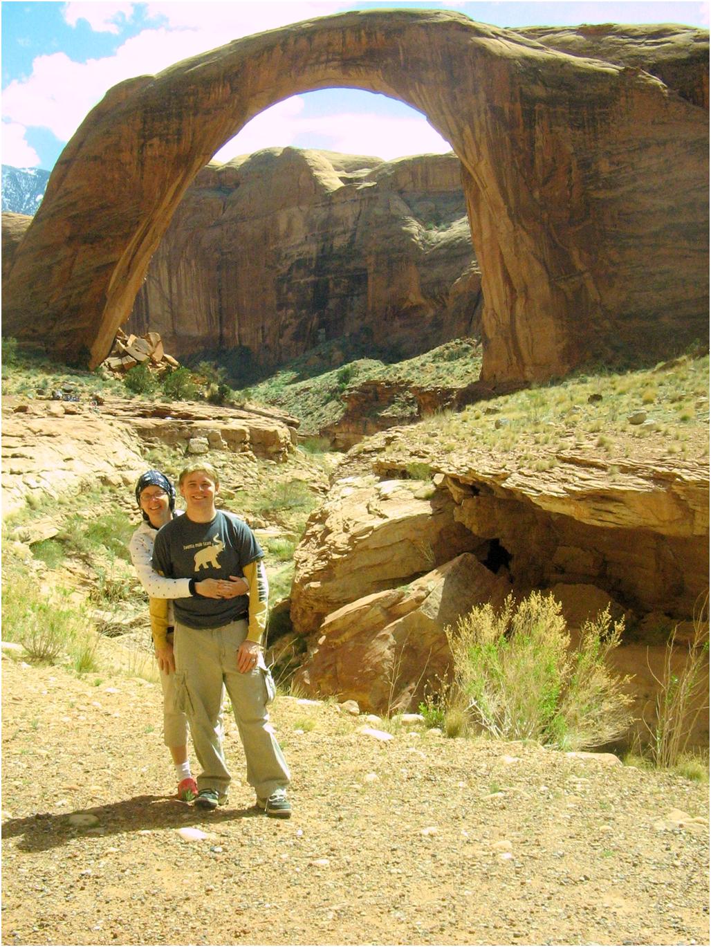
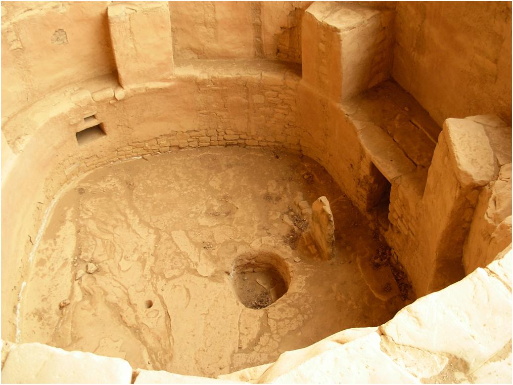
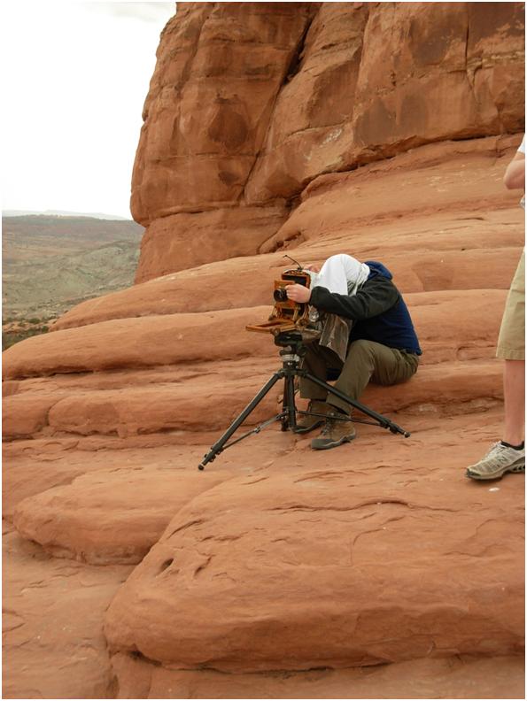
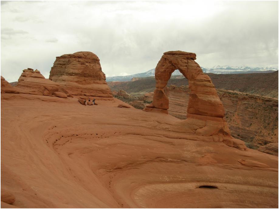
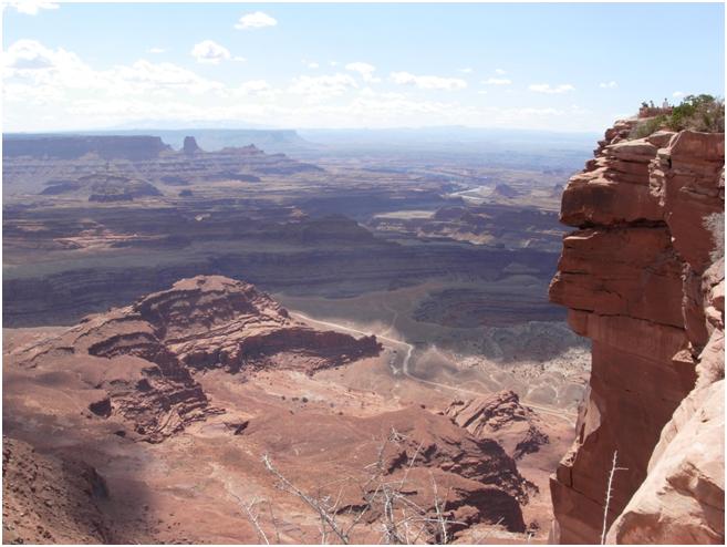
So there is the largest natural arch in the world. The hike is very easy, only about ten minutes. The only trick is getting there. It took us about two hours each way to get there from Wahweap, so if you do this, plan to gas up at Dangling Rope Marina before you go back.

Day 3: Page, Rainbow Bridge, Monument Valley, Page

Topic: Uncategorized| No Comments »

After some more research on my camera problem, I think my only hope is to take my camera back to Costco. In Phoenix, of course, after the Grand Canyon. Of course, because of a few idiots, Costco has revised their very generous policy of return-no questions asked to return-only in the first three months. However, since I bought my camera about a month before that policy started, I may be good. Or not. It depends. I still have all my original packaging, so at least I can throw that away too if this doesn’t work. At least I gave Sandy’s mom a 3 Megapixel Powershot before we left, and Sandy’s dad has a 4 Megapixel Camera, so I won’t have to describe the next five days in prose. I suppose another good thing is that I have already been to many of the places we will be visiting over the next few days, except for the Grand Canyon.

Anyway, today we will be visiting Rainbow Bridge and Monument Valley. Rainbow Bridge is the largest natural arch in the world, stretching 275 feet across the river. Rainbow Bridge is in the middle of Lake Powell, so we are renting a speedboat to take us out there. The trip is about 4 hours round-trip, and I’d like to take a leisurely drive, but Sandy wants to get to Monument Valley before dark, so we need to make it back to the dock by four. Which might be cutting it close. We’ll see.

Day 2: Mesa Verde

Topic: Uncategorized| No Comments »


Mesa Verde is simply amazing. There are at least 11 cliff dwellings that you can see; Five that you can tour. The cliff dwelling above is called Square Tower House. The dwelling we toured is called Spruce Tree House, and it was the only dwelling open to visitors. The other cliff dwellings are open to tours later in the year, when the summer tourist season hits full swing. These cliff dwellings were built by the Anasazi (now supposedly called Ancestral Puebloans by the politically correct) around the 12th century. The Anasazi left no written records, so archeologists have to guess why they came, built such structures, and why they left, but they seem to have alternated from living on top of the mesa to living in cliff dwellings, to eventually leaving, maybe from drought and an exhausted food supply. However, I’m sad to have been weaned on Indians living in tepees instead of in houses like this or like the ones in Central America.

Spruce Tree House


Me climbing into a kiva (ceremonial room)


An unrestored kiva


An Anasazi KitchenAid (grind that corn!)

Day 2: Don’t buy a Nikon Coolpix L5 if you want to take pictures of the Grand Canyon

Topic: Uncategorized| No Comments »

So, Nikon has descended into the valley of suck. Sorry, I am going to rant for a bit, and then I’ll get back to the trip. We are driving around Mesa Verde, trying to get to the spectacular “Sun Temple”, stopping every 5 seconds to take more pictures of cliff dwellings, and my camera batteries die in the middle of a shot. Which is fine, since I subscribe to the “digital cameras should take AAs” school of thought, and I have a bunch of rechargables. So I pull two out from my case and pop them in. My Nikon happily starts up, and makes a wonderful musical startup noise. Which I had turned off last year when I bought the camera. And now comes the great part:


In the middle of a shot. Every time I turn on the camera (which was about fifteen times). And now my camera is hosed. Hosed because I don’t have INTERNET ACCESS or the MANUAL to look up what the aptly-named “system error” means.

Update:

It looks like this error does exist. The manual says that this helpful error means that the internal electronics of the camera are malfunctioning. The remedy is to take out the batteries and replace them with a fresh set…and if that doesn’t work, take the camera to your Nikon dealer. I’m assuming that a new system board for my camera, plus repairs, would come the about $200 more than the camera is worth. So, since this is the third set of batteries I’ve tried, I can safely assume that I might as well chuck my camera off a cliff. Which I will be seeing many of in the next few days. It will be tempting.

Day 2: Mesa Verde, Four Corners, Page

Topic: Uncategorized| No Comments »

I’d never heard of Mesa Verde before Sandy suggested we go there. However, I had heard of the Anasazi Indians. I had also heard of cliff dwellings. It turns out that cliff dwellings were made and dwelt in by the Anasazi and Mesa Verde in Colorado is a national park with lots of them. The Anasazi also are a mysterious group of Indians in that they built magnificent and haunting structures, but seem to have abandoned them for some inexplicable reason around 1300 AD. On a side note, I find it interesting that most of the national parks we have visited so far seem to have a town within 10 miles of the park entrance. It’s just convenient to stop in a little town for gas or food, leave, and then see a “Mesa Verde National Park – 10 miles” sign as we leave town (kind of true in the case of Canyonlands and Dead Horse Point. The reason we even went to Canyonlands is because I saw a sign at the end of Dead Horse Point saying “Canyonlands – 9 miles”).

Day 1: Arches

Topic: Uncategorized| No Comments »

(Courtesy http://picasaweb.google.com/lh/photo/GzOHuYUVxIg76gG2TdlisQ, I’m annoyed that I didn’t take a picture of the entrance myself)

Arches is impressive. Right after the ranger station, there is a series of switchbacks that climb almost 1000 feet to enter the park. Sandys’ dream was to see Delicate Arch, so we drove straight to the end of the park to see it. The hike to Delicate Arch takes about 30 minutes, and it isn’t easy. Most of the trail is over bare sandstone, with piles of rocks to mark the way. We had an easy time, since by the time we hit the park, the sky was overcast, which was great for hiking, but mediocre for picture taking. At Delicate Arch, there was someone with an old-fashioned Black and White Camera waiting for any variation in lighting so he could take his shot. It seemed that overcast skies made the lighting “flat”.


After Delicate Arch, I convinced Sandy that we had enough time to go and hike Landscape Arch, which, in my opinion, is more impressive view. The hike was very easy, and even though it looked like rain, we only got a few drops. Landscape Arch is notable not only for its size (290 feet), but also because in 1991 after about ten days of heavy rain, a 20-ton piece of the arch broke off and tumbled to the ground. And, there were visitors there to see it. Needless to say, after hearing about it, the National Park Service closed the trail underneath the Arch, which in my opinion, is safer, but not what I would prefer.


We’ll sleep in Moab.

Day 1: Canyonlands

Topic: Uncategorized| No Comments »

I convinced Sandy that since Canyonlands National Park was only 9 miles up the road, we should go there before we went to Arches National Park (Sandy is scared that we might miss Delicate Arch in Arches). Since we didn’t have lots of time, we drove straight to Grand View at the end of the park.

In my opinion, Grand View is too much to take in. The canyons stretch for miles to the horizon, and it is difficult to grasp what you are seeing.

Day 1: Dead Horse Point

Topic: Uncategorized| No Comments »

Dead Horse Point. From one of the helpful historical signs, “Dead Horse Point was a custom-made horse trap, like a box canyon only in reverse. With sheer cliffs straight down on all sides and only a narrow strip of land for access, it made a perfect place to keep horses. All the cowboys had to do was herd the horses across the neck and out onto the ‘point’. They would then build a fence of pinyon and juniper branches across the neck and they had a natural corral! Here the cowboys could sort through the horses, choose the ones they wanted, and let the culls or ‘broomtails’ go free.”

[Google Maps maybe?]

They aren’t kidding, Dead Horse Point is about 2,000 feet above the valley floor. There is nowhere to go if you were stuck there. In fact, I think it would make a good prison for just about anything.

Actually, the road to Dead Horse Point is one of the few places I have ever seen free-range cattle, and by that I mean that there are no fences on either side of the road. The cattle are free to wander all over the road if they like, and on our way back, we saw the herd being driven across the road by some cowboys. Needless to say, our guests were very excited.

Day 1: Provo, Dead Horse Point, Canyonlands, Arches, Moab

Topic: Uncategorized| No Comments »

We intended to leave at 4 a.m. to get to Moab quickly, but I had just taken a final the night before, so Sandy gave me a little break and let us leave at 7. Our minivan has been acting up, so yesterday we decided to rent a car instead. The Provo Budget had a modest selection of vehicles, but we were lucky and get to go in a 2008 Toyota Rav4.

The Ultimate In-Laws road trip

Topic: Uncategorized| No Comments »

So. Sandy’s parents are here from the Czech Republic for their annual trip to visit us, and just like last year, Sandy has planned a trip. And boy, is it a doozy. Since a couple of people have asked us for our itinerary before we go gallivanting across the countryside (so they can file a missing persons report if we don’t show up in a week), I decided to send it to them in blog form, so they can admire the spiffiness of our newly created blog.

Saturday – Provo -> Dead Horse Point State Park -> Canyonlands National Park -> Arches National Park -> Moab, Stop.

Sunday – Moab -> Mesa Verde National Park (CO) -> Four Corners (NM, UT, CO, AZ) -> Page (AZ), Stop.

Monday – Page -> Rainbow Bridge -> Page -> Monument Valley -> Page, Stop.

Tuesday – Page -> Grand Canyon -> Phoenix (AZ) (Jen’s), Stop.

Wednesday – Phoenix -> Saguaro National Park (AZ) -> Calexico (CA) -> Mexicali (MX) -> San Felipe (MX), Stop.

Thursday – San Felipe, Stop.

Friday – San Felipe -> Mexicali -> Calexico -> Blythe -> Las Vegas (NV) -> Henderson (NV), Stop.

Saturday – Henderson -> Las Vegas -> Provo, Stop. Stop. Stop.

We’ll have a great time. For those of you who were wondering, here is what our route looks like from the air:

Trip Overview - 3,232 Miles